Most areas will have fine, dry and warm weather this weekend, but there are some signals that there may be more unsettled weather on the way from the middle of next week.
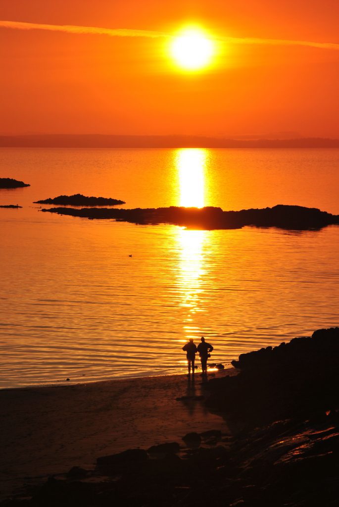
Much of the weekend will see a continuation of the dry, settled weather that many have seen over in recent days, with some long spells of sunshine, especially in the south.
After some early mist and fog on Saturday morning, light winds and sunshine will be the main theme for many, with only a risk of an isolated shower in the far north of Scotland. The clearest skies are likely to be found in the south and temperatures could reach 19C in the southwest of England and Wales.
It’s a similar theme for many on Sunday, with dry and settled weather across much of the country, although some fog and cloud will persist, mainly on some North Sea coasts, subduing temperatures in these areas.
Although Monday will still see a good deal of dry and fine weather, increasing cloud will hinder high temperatures, with the west holding onto the warmest of the weather through the day. Coupled with this is the risk of a few showers across some central and southern areas of the UK.
By Tuesday a cold air mass will attempt to push into the north of the UK and slowly sink southwards, although the exact way this occurs is still very uncertain. However this happens, we are likely to see a change to a more unsettled and cooler weather picture from the middle of next week. Showers will be possible for much of the UK, although most frequent in the north and east, some of which are likely to be wintry in nature. Nighttime temperatures in the north could sink to –3C in isolated rural areas.
Met Office Chief Meteorologist Paul Gundersen said: “Although the UK has had a good deal of fine and settled March weather in recent days, a change is on the way from the middle of next week with colder air spreading down from the north and the increasing likelihood of rain for most areas. On the hills in the north, there’s a chance of this falling as snow, although we’ll gain more certainty on that in the coming days.
“With the influence of some unsettled weather, we’ll be seeing a marked drop in temperatures for most with colder air arriving from the north. This will see maximum temperatures drop into single figures for many areas, and below freezing overnight.”
You can check the latest forecast on our website, by following us on Twitter and Facebook, as well as on our mobile app which is available for iPhone from the App store and for Android from the Google Play store. Keep track of current weather warnings on the weather warning page.


